

Stage 2: from O Porrinõ to Redondela
In the early hours of the morning, we had a nice breakfast in the few cafes already open and left O Porrinõ. This 16km stage is essentially flat, with only several more complicated climbs and descents on the end of the stage.
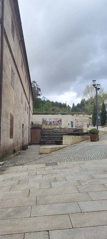
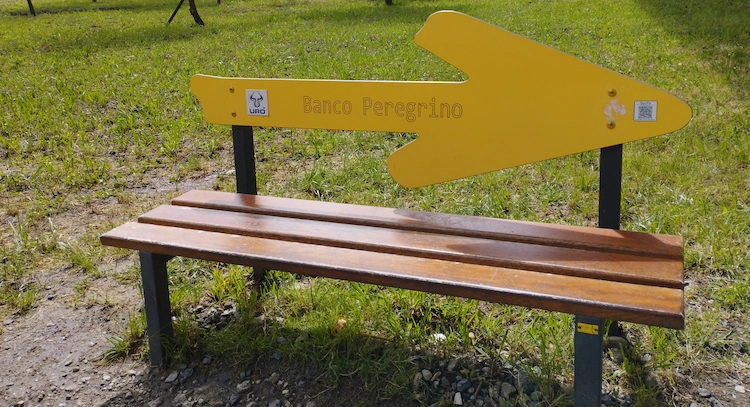
The exit from the city is via the very busy N550 national road. After leaving the city and heading towards Pazo de Mós we found a route with some climbs and along much quieter local roads. We have to highlight Mós, where there are several cafes, restaurants and public bathrooms. It is a very well-kept small village. The baroque church of Santa Eulália and the Paço dos Senhores de Mós are the most prominent buildings.
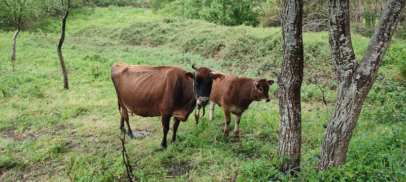
At the exit from Mós, we found another huge climb and entered a greener area with very beautiful landscapes.
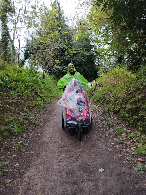
Near Redondela we found quite steep and violent descents, which were made even more difficult by the fact that we had to go down with a stroller.
After we arrived at the accommodation, we went out to visit Redondela. This city is known for its old railway bridges that cross the city. Next to the river, there is a very calm and beautiful walking area. Next to the Vigo estuary, located on the city limits, some walking trails allow you to enjoy this place.
The historic centre of Redondela is also beautiful, with its narrow streets and some buildings with traditional Galician architecture.


Stage 3: from Redondela to Pontevedra
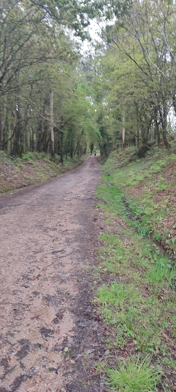
This 18 km stage would be one of the most beautiful and at the same time one of the most demanding. It is one of the most beautiful because most of the stage passes through woods and one of the most demanding, due to the climbs and the type of cobbled route found. For us, it was one of the most demanding, due to the heavy rain that was felt on more than half of our route.
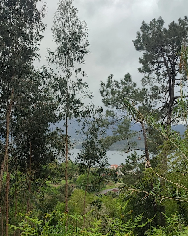
Right at the beginning of the route you go through a wooded area with a magnificent view over the Vigo estuary on your left side. This view has accompanied us for some time.
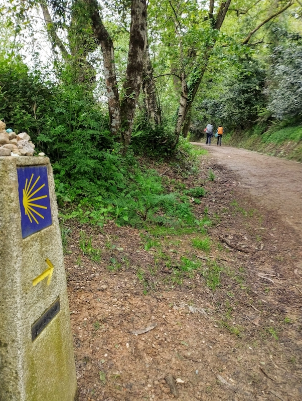

Near Ponte Sampaio, there is a slight change in the old route (which has not been marked in the app we used). We must follow the indication that takes us to the right. If we ignore the indication marked on the route and continue straight ahead we will follow the old part of the route, which takes along the side of a very busy road for a few meters.
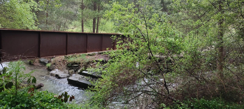
Crossing the more urban area of Ponte Sampaio, we arrive at the Bridge itself that crosses the Verdugo River. Beautiful view and a very beautiful location in the area next to the river.
After crossing the bridge, we again entered a long climb, first on asphalt, and then on dirt and with huge loose stones. Here, in addition to the difficulty of the route, we had to face heavy rain, which was felt until the end of the stage.

In the dirt and stone road, we feel what unites all hikers. The level of mutual assistance is enormous. Without having to ask, as soon as the pilgrims realized the difficulty we would face, several waited for us and helped us carry the stroller along the cobblestone route.
Closer to Pontevedra there is another detour (this one marked in the app). The route can be taken on the edge of the N550 or through a green area (known as a complementary path), close to a watercourse. We were all forced to keep to the side of the road because the route alongside the watercourse was flooded.
This part of the route that we couldn’t do is also very beautiful, based on the photos we saw on social media.
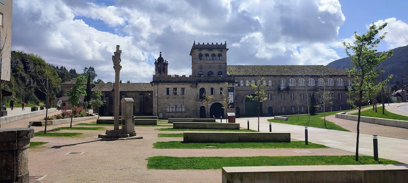
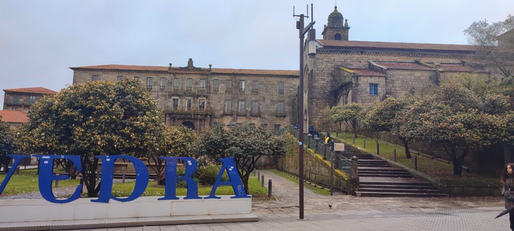
Arriving in the city of Pontevedra, it was time to take off the waterproofs and get to know a little of its historic centre. We couldn’t miss visiting the Sanctuary of the Pilgrim Virgin (built in the shape of a scallop), the surrounding square and the Convent of São Francisco. Pontevedra is a busy city with many cafes and bars and street shops.


No Comment! Be the first one.